
Let us run your parcel analysis
With TerraScane services, we run the satellite analysis of your parcels from start to finish and deliver the result as a PDF report, an Excel spreadsheet, or a KMZ file that opens in Google Earth. We use Sentinel-2 and Landsat imagery; the Landsat archive goes back to 1984. Tell us which service you need, and let's start with a pilot on a single parcel.
Start a pilot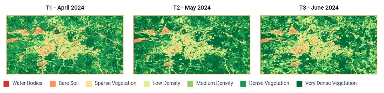


Contains modified Copernicus Sentinel data 2024 · © OpenStreetMap contributors
- Services
- Batch parcel analysis, land cover, wetland screening, and change detection
- Delivery
- PDF report, Excel spreadsheet, or KMZ file
- Report language
- Turkish, English, or both
- Data
- Sentinel-2 and Landsat; the Landsat archive goes back to 1984
- Input
- Parcel boundary file or a list of parcel corner coordinates
- Start
- A pilot on a single parcel
Four services
Batch parcel analysis
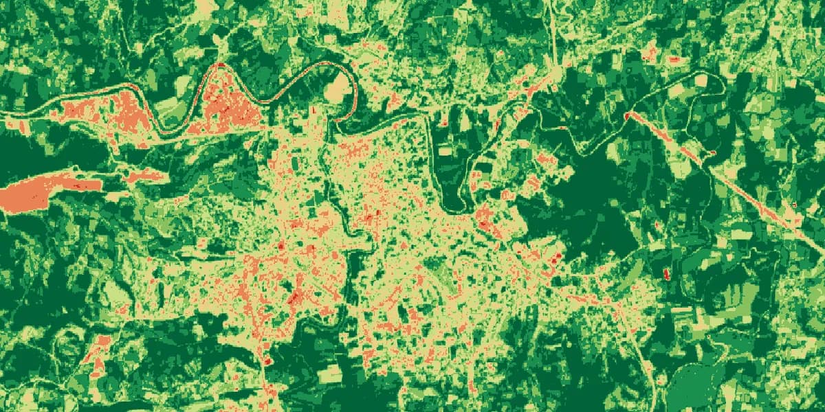
We analyze every parcel in your portfolio for the periods you choose, with the same settings, and deliver a PDF report, an Excel spreadsheet, and a KMZ file for each parcel, in Turkish, English, or both.
Who it is forConsultants and cooperatives that need supporting analysis for carbon reports and the certification process
View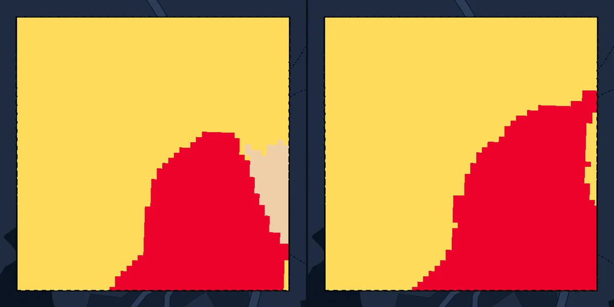
Land cover
For each parcel, we deliver a separate KMZ file that shows which parts are trees, crops, water, or built area, and how that mix changed over the years.
Who it is forGrowers, exporters, and consultants who want to document how their parcels' land has been used over the years
View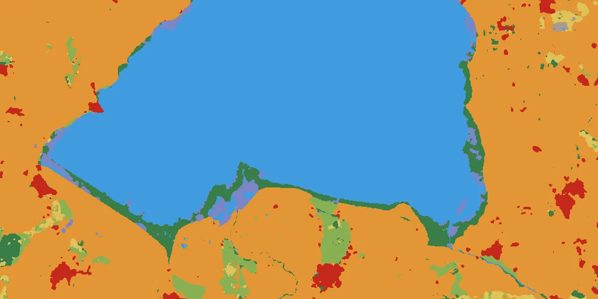
Wetland screening
Before the project starts, we screen each parcel for overlap with wetlands and deliver one result per parcel, with its reasoning, in a KMZ file.
Who it is forThose who want to check early whether their parcels qualify for a project
View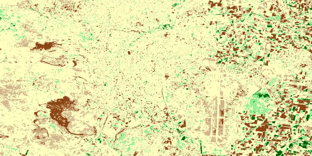
Change and loss detection
We show where change happened between two dates and how large it is; for fire and cover loss, we deliver the event period, the affected area, and a change table relative to the cut-off date.
Who it is forExporters who need cut-off date evidence, insurance teams assessing damage, and consultants tracking carbon projects year by year
View
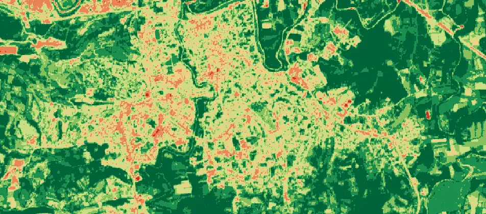
Land cover: Esri, Impact Observatory, Microsoft · This dataset is produced for the Dynamic World Project by Google in partnership with National Geographic Society and the World Resources Institute. Contains modified Copernicus Sentinel data 2020, 2024, 2026 · CC BY 4.0 · clipped to the parcel · © OpenStreetMap contributors
How we work
All four services follow the same steps.
We take your parcel boundary file. Without one, we start from a list of parcel corner coordinates.
We set the period and scope together with you.
We analyze every parcel with the same settings.
We deliver the result. Reports and files are prepared in Turkish, English, or both.
Turnaround time
With a system we built ourselves, we cut file and report preparation from months to weeks, even days.
In which formats do you deliver the results?
For batch parcel analysis and change detection, we deliver PDF reports, Excel spreadsheets, and KMZ files that open in Google Earth. For land cover analysis and wetland screening, the result comes in a separate KMZ file for each parcel. All files are prepared in Turkish, English, or both.
What if I have no parcel boundary file?
A list of parcel corner coordinates is enough; we draw the boundaries and check them with you before the analysis. If you have a file, you can send it as KML, KMZ, SHP, or GeoJSON.
How far back can you go?
The Landsat archive starts on March 16, 1984, and the Sentinel-2 archive on March 28, 2017. Landsat imagery has a resolution of 30 meters and Sentinel-2 imagery 10 meters. For land cover maps, you can choose any year from 2016 to this year.
How long does delivery take?
It depends on the number of parcels, the total area, and the number of periods you need. Once you have seen the result for the pilot parcel, we set the delivery schedule for the portfolio together with you.
How are scope and price set?
We set the scope and price based on the number of parcels, the total area, and the number of periods. Use the contact page to tell us how many parcels you have and which period you want to monitor; we will email you the scope and our quote.
Pilot
You can start any service with a pilot on a single parcel.